


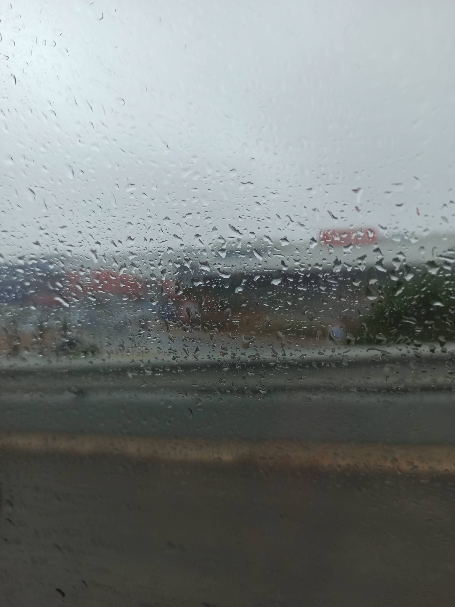
According to an update from the Portuguese Institute for Sea and Atmosphere (IPMA) at 1:30 pm, red warnings (the highest of the three levels) for rainfall, in force since 12 pm, remain active until 6 pm in Lisbon, Setúbal, Santarém and Faro.
The southernmost district of the country is the only one where a red wind warning also remains in place, from 12 pm until 9 pm, with forecasts of “gusts of up to 120 kilometres per hour, potentially reaching 140 kilometres per hour in the most exposed areas”.
Faro is also under orange and yellow warnings for rough seas and thunderstorms.
Other districts in the South and Centre regions were also under red warnings, but an improvement in forecasts led IPMA to make changes.
Due to rain, wind, rough seas and/or thunderstorms, other orange or yellow warnings remain in place until the end of the afternoon or evening for Évora, Setúbal, Lisbon, Leiria, Santarém, Beja, Portalegre and Castelo Branco.
Bragança, Guarda, Viseu, Porto, Vila Real, Coimbra, Viana do Castelo, Aveiro and Braga are only under yellow warnings, exclusively for rainfall.
The Charles depression, which prompted the activation of an alert situation across mainland Portugal from midnight until 11:59 pm, weakened during the morning and split into two low-pressure centres, one moving towards Lisbon and another near the Algarve coast, the region currently most affected by bad weather, according to information from IPMA in the early afternoon.
Set The Portugal News as your preferred source for news on Google
 Add as a preferred source on Google


 Portugal Handbook
 English
 Nederlands
 Deutsch
 Français
 Español
 Italiano
 Svenska
 Pусский
 中文
 Türkçe
 Português
 Czech
 Hungarian
 Polski
 عربي
 Suomi
 עִברִית
 Português (Brasil)

Follow us on social media