


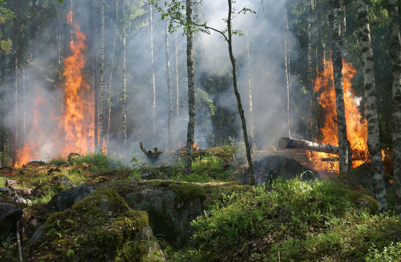
The INE's analysis of territorial exposure to the risk of rural fires between 2020 and 2025 reveals that the municipality of Covilhã recorded a burned area of 28,800 hectares in those five years, followed by Sabugal, with 22,600 hectares, and Sernancelhe, with 19,500 hectares.
"The repetition of the burned area was particularly pronounced in the North region," reads the analysis released today by the INE, which detailed that "Arcos de Valdevez, Baião, Chaves, Cinfães, Ponte da Barca, Sernancelhe and Vila Real had more than 1,000 hectares of burned area more than once."
In total, between 2020 and 2025, there were 50,218 fires, 31% of which started in areas of high and very high risk, and the North and Central regions together accounted for 90.7% of the burned area, with 42.1% and 48.6%, respectively.
INE also analysed the distance between fire departments and territories with high risk and concluded that 69.6% of the territories classified as high and very high risk were more than 15 minutes away from a fire department.
"Among the municipalities with the largest areas of high and very high risk located more than 15 minutes away from a fire department, the municipalities of the North and Central regions predominated," and Góis and Pampilhosa da Serra stood out, with more than 80% of their respective surface areas in these conditions."
 Add as a preferred source on Google





 Portugal Handbook
 English
 Nederlands
 Deutsch
 Français
 Español
 Italiano
 Svenska
 Pусский
 中文
中文 Türkçe
 Português
 Czech
Czech Hungarian
 Polski
 عربي
عربي Suomi
Suomi עִברִית
 Português (Brasil)
Follow us on social media