


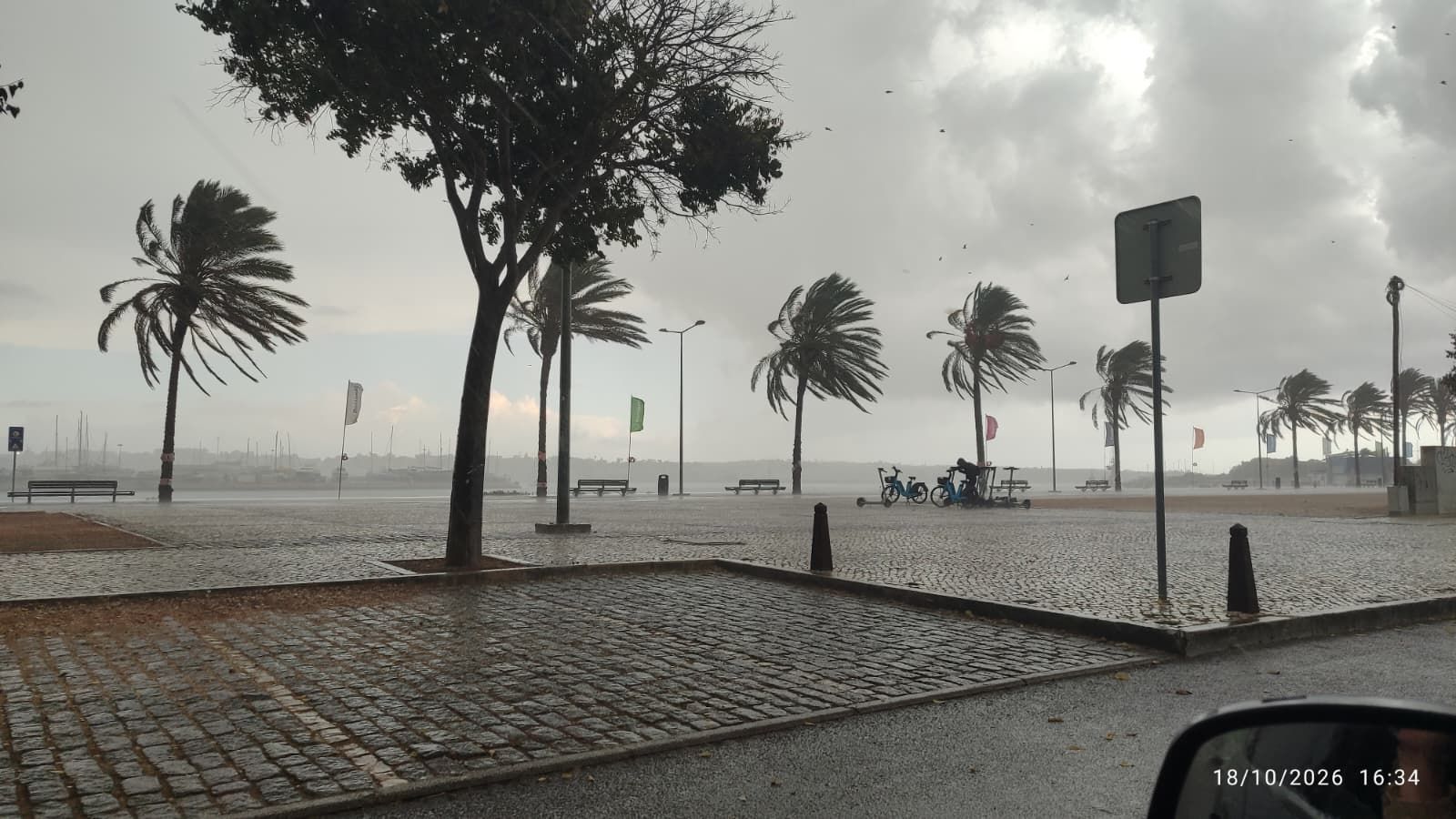
The forecast is not yet settled, however, and both the timing and amount of rain could change over the next few days.
Meteored reported on Wednesday, 4 November, that an Atlantic depression is likely to bring the first fronts to the country on Friday. The North and Centre appear most exposed, although the exact areas affected remain uncertain. Some models indicate that the system could continue to influence the weather over the weekend and into next week.
Meteorologist Alfredo Graça said the depression is expected to deepen and move east-northeast between Friday and Saturday, 6 and 7 November. A rise in pressure to the north may allow Atlantic weather systems to approach the Iberian Peninsula after a settled spell. Until then, Portugal is expected to remain mostly dry and sunny, with cooler conditions than earlier in the week.
The IPMA’s outlook also points to a change around the weekend of 7 and 8 November. It describes a broad low-pressure system over the Atlantic moving closer to mainland Portugal. The forecast suggests rain could reach the western coast before spreading inland, particularly across the North and Centre.
Speaking to DNotícias on 4 November, IPMA meteorologist Maria João Frada said periods of rain were expected from Friday, 6 November, afternoon along the western coast, gradually extending further inland. She said some days could bring heavier rain and thunderstorms, and that an IPMA rainfall warning may be issued if the forecast supports it. The same report says Madeira could also be affected, while temperatures are expected to remain relatively mild.
There is still no reliable estimate of how much rain will fall or which towns will receive the most. Meteored’s own analysis cautions that the day the rain arrives could shift. Small changes in the depression’s path can affect where the fronts pass and how much precipitation they bring.
After a prolonged dry spell, the first rainfall may also need to be monitored carefully. Meteored says very dry or compacted soils can initially absorb water less effectively, which may lead to more runoff. That is a possibility to watch, rather than a prediction of flooding: forecasters have not yet provided rainfall totals or identified specific locations at risk.
For now, the forecast points to a possible change from Friday, 6 November, especially in northern and central Portugal. It’s worth checking IPMA’s updates, as the details may still shift. Forecasts made further in advance give a general picture, but the timing, intensity and amount of rain should become clearer as the depression approaches. The IPMA daily forecasts will probably give a much clearer picture in the run-up to the weekend.
Set The Portugal News as your preferred source for news on Google
 Add as a preferred source on Google


 Portugal Handbook
 English
 Nederlands
 Deutsch
 Français
 Español
 Italiano
 Svenska
 Pусский
 中文
 Türkçe
 Português
 Czech
 Hungarian
 Polski
 عربي
 Suomi
 עִברִית
 Português (Brasil)

Follow us on social media