


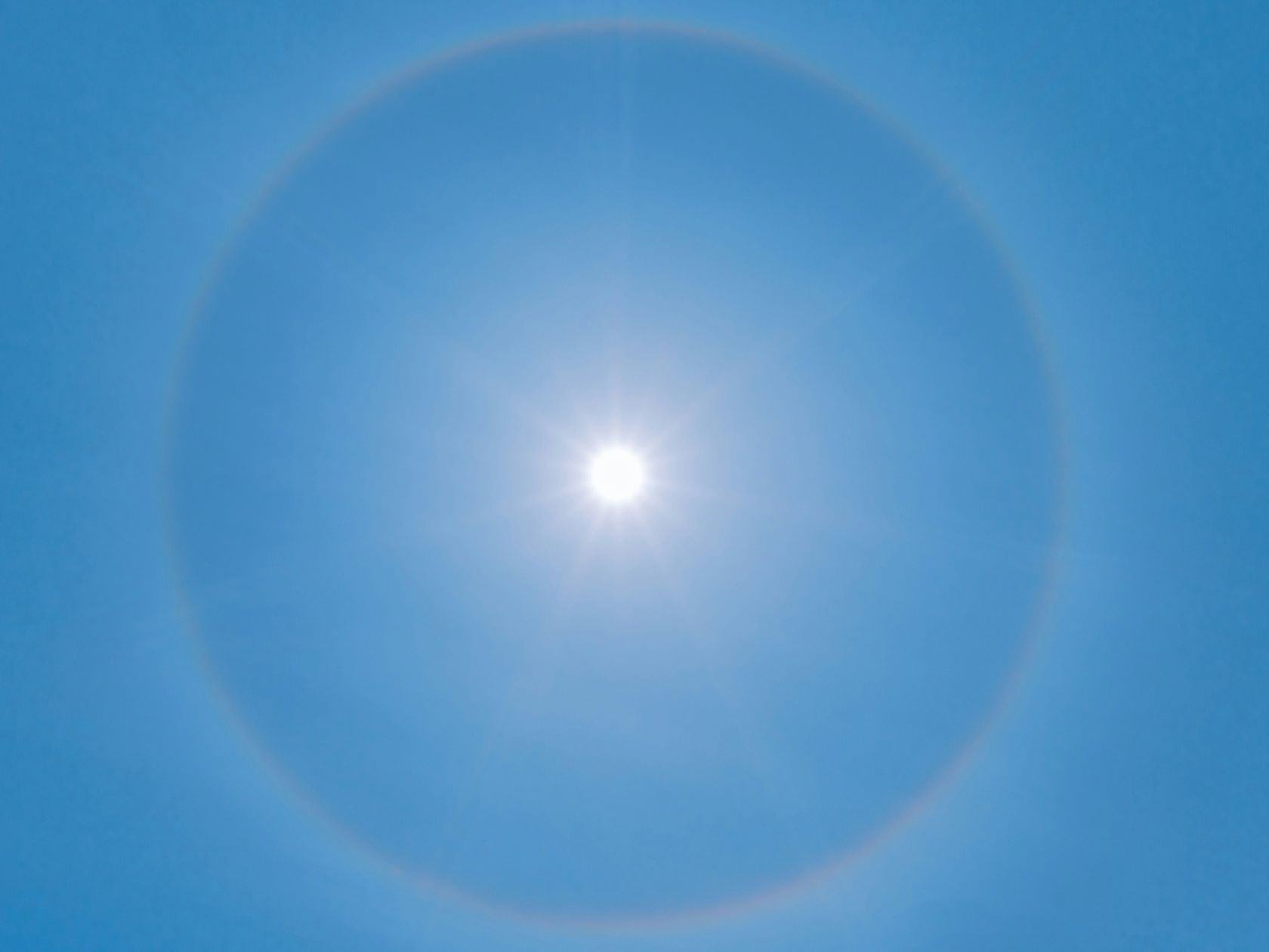
"On the 2nd and 3rd [of September] we will have a rise in temperature, which will be gradual and will be significant. On both days we have temperature increases that can reach 10 to 12 degrees in some places and lower increases of 6 to 8 degrees in others, but on the coast the temperature will rise by 10 to 12 degrees on both days," meteorologist Maria João Frada told Lusa.
The meteorologist from the Portuguese Institute of the Sea and the Atmosphere (IPMA) states that the exception will be the southern coast of the Algarve, where the increases will be less significant and essentially on 3 September, with increases of 5 to 6 degrees.
“The minimum temperature should also rise, with a relatively sharp increase in the central-southern regions, but only on the 3rd, and this is a temporary episode. We will already have a tendency for temperatures to drop on Friday on the coast or in the western half of the mainland territory, but it will not drop as much as it rose in previous days,” she indicated.
Maria João Frada mentions that, on 3 September, the maximum temperature will be between 34 and 38 degrees in most of the territory, and in the inland regions south of the Serra da Estrela, including Vale do Tejo, Beira Baixa and Alentejo, they should have values of around 40 to 42 degrees.
In the coastal strip, temperatures will be slightly lower, ranging between 25/26 degrees and 30/31 degrees, which will be higher in the coastal strip of the southern region.
"This temperature rise is due to the fact that we have an anticyclone that will be positioned roughly northeast of the Azores or northwest of mainland Portugal. It extends its influence towards Central Europe and, together with the depression trough that extends from North Africa to the Iberian Peninsula, causes the transport of air masses originating from either the Iberian Peninsula or North Africa," she said.
Set The Portugal News as your preferred source for news on Google
 Add as a preferred source on Google






 Portugal Handbook
 English
 Nederlands
 Deutsch
 Français
 Español
 Italiano
 Svenska
 Pусский
 中文
中文 Türkçe
 Português
 Czech
Czech Hungarian
 Polski
 عربي
عربي Suomi
Suomi עִברִית
 Português (Brasil)
Follow us on social media