


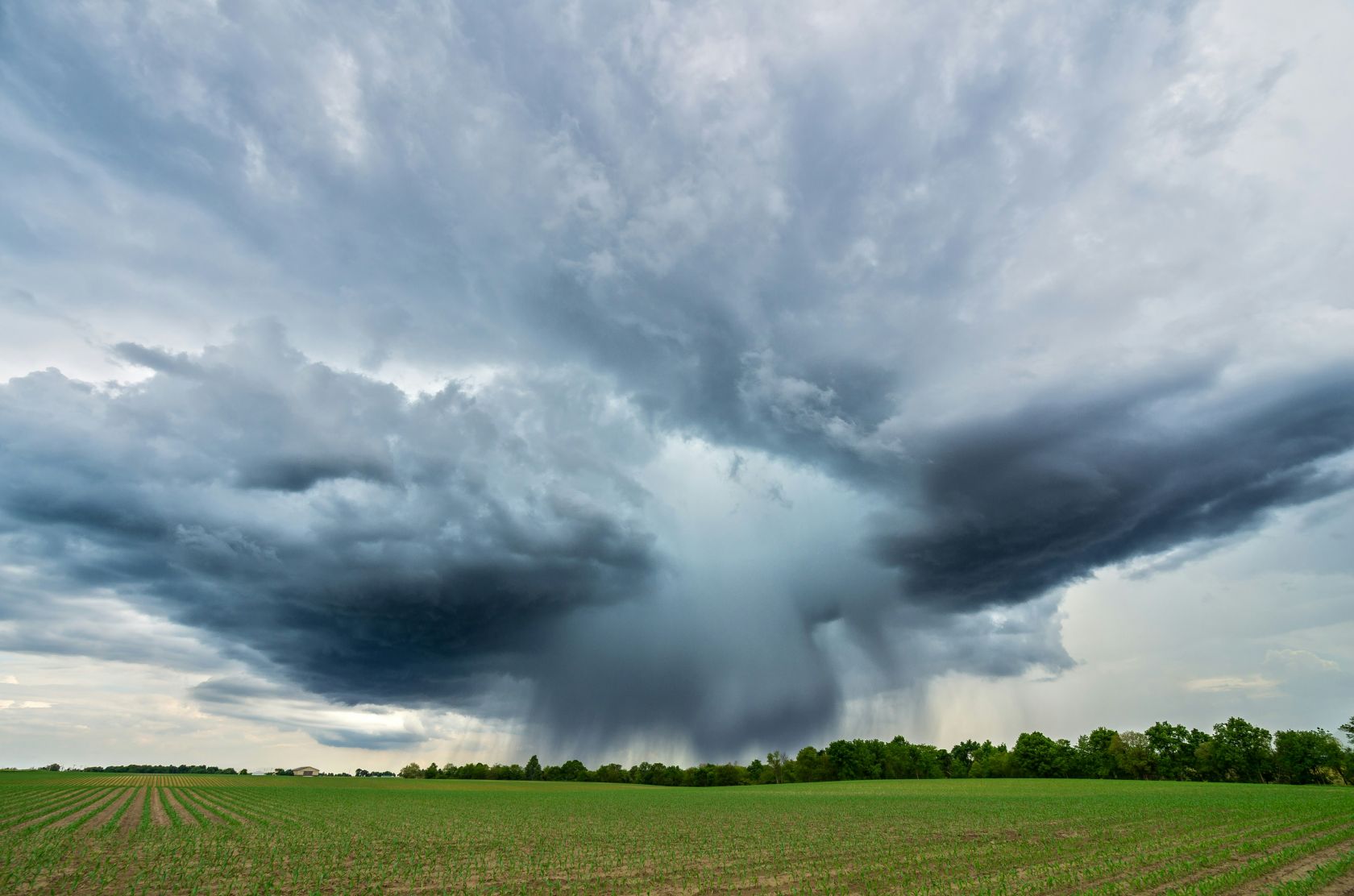
However, regarding Portugal, official forecasts call for calm and prudence, dismissing alarmist scenarios. Given the technical analyses by the Portuguese Institute for Sea and Atmosphere (IPMA), the practical effects of this event on mainland Portugal are generally indirect and show no statistically significant influence on typical weather patterns.
This means that the onset of this system will not automatically result in an unusually dry winter, a scorching summer, or an inevitable succession of extreme weather events across the country.
Climate stability in Portugal
Portugal's climate stability remains heavily dependent on North Atlantic atmospheric and oceanic dynamics. The Pacific is too distant to dictate weather patterns on the Iberian Peninsula.
A detailed analysis of historical data from the past 35 years revealed to national experts that the correlation between this phenomenon and precipitation or temperature variables in the country is virtually non-existent.
Reports recently detailed by the newspaper Público clarify that even the climate extremes witnessed in Portugal over the last decade should be attributed to global warming and fluctuations in Euro-Atlantic atmospheric circulation, rather than to the warming of tropical waters on the other side of the globe.
For this reason, the IPMA emphasises the importance of distinguishing between weather, which defines the instantaneous state of the atmosphere on a given day, and climate, which refers to patterns established over several decades.
Natural cyclical climate
Regarding the mechanics of the phenomenon itself, El Niño is one phase of a natural, cyclical climate pattern known as the El Niño-Southern Oscillation (ENSO); its opposite, the cool phase, is known as La Niña.
The current episode is characterised by unusual warming of surface waters in the tropical and equatorial Pacific. For an event of this nature to be formally declared, the average water surface temperature in a specific monitoring zone, known as the Niño 3.4 region, must exceed its baseline value by at least 0.5 degrees Celsius.
Recent measurements indicate that this threshold has already been comfortably surpassed, with thermal anomalies of around 1.2 degrees Celsius above normal, confirming a trend of rapid and continuous intensification.
Projection from seasonal models
Projections from multiple international seasonal models, including cutting-edge tools from the U.S. National Oceanic and Atmospheric Administration (NOAA) and the European Centre for Medium-Range Weather Forecasts (ECMWF), indicate significant persistence and strength.
There is currently a greater-than-99 % probability that these conditions will remain active until early 2027, with peak intensity expected between the latter half of this year and the early months of next year.
Intensifying
Additionally, climate authorities estimate an over-80 % probability that this event will intensify to a "very strong" category, a prospect that has prompted warnings from the World Meteorological Organisation (WMO).
When the phenomenon reaches this level of intensity, the risks of severe droughts, heatwaves, and catastrophic floods across the globe's tropical belt increase significantly, severely affecting regions such as Australia and South America.
The major challenge for scientists now lies in monitoring how this robust El Niño will interact with a global system already under intense pressure and out of balance due to the accumulation of greenhouse gases.
 Add as a preferred source on Google







 Portugal Handbook
 English
 Nederlands
 Deutsch
 Français
 Español
 Italiano
 Svenska
 Pусский
 中文
中文 Türkçe
 Português
 Czech
Czech Hungarian
 Polski
 عربي
عربي Suomi
Suomi עִברִית
 Português (Brasil)
Follow us on social media