


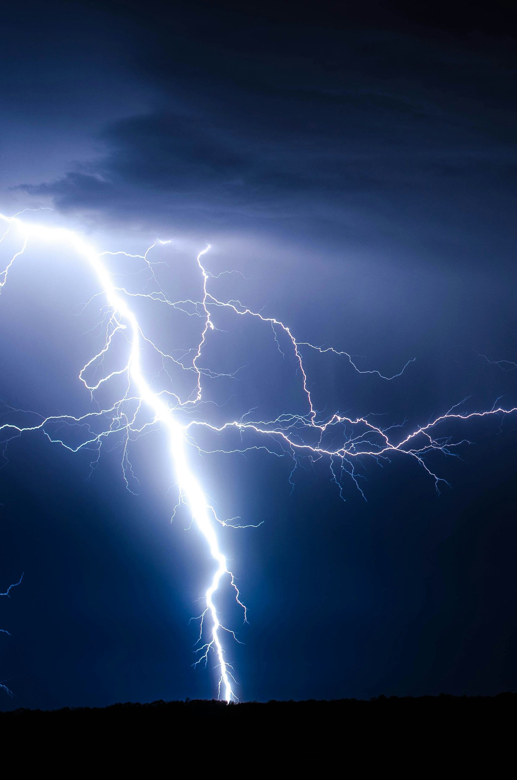
A dry thunderstorm is still a real thunderstorm. It can produce thunder, lightning, dark clouds and sudden gusts of wind. The difference is that little or no rain reaches the surface. In many cases, rain does fall from the cloud, but evaporates before it reaches the ground because the layer of air below is so hot and dry. This disappearing rainfall is known as virga. The US National Weather Service describes dry thunderstorms as storms that produce little or no precipitation at the surface, a particular concern when lightning strikes dry vegetation.
This is why dry thunderstorms are watched so closely by meteorologists and civil protection authorities. A normal thunderstorm may bring lightning, but it often also brings rainfall that dampens vegetation. A dry thunderstorm can do the opposite. It can deliver cloud-to-ground lightning into already dry countryside, while leaving grasses, scrubland and forests almost untouched by rain.
Portugal vulnerability
Portugal is particularly vulnerable because of its summer climate. Long periods of hot, dry weather are common across the mainland, especially inland and in rural areas. By July and August, vegetation can become extremely dry after weeks with little rainfall. During heatwaves, temperatures can exceed 35C or even 40C in parts of the Alentejo, Tagus Valley, Douro and interior regions, while humidity often remains low.
Dry thunderstorms are most likely when warm, unstable air rises and forms storm clouds, but the lower atmosphere remains very dry. This can happen after intense heat builds over the Iberian Peninsula, especially when a change in the upper atmosphere allows thunderstorms to develop. From the ground, people may see dramatic skies, hear thunder or notice flashes of lightning, but only feel a few spots of rain.
The danger is not only lightning. Dry thunderstorms can also produce sudden, gusty winds. As rain evaporates on the way down, it cools the surrounding air. This cooler, denser air can then sink rapidly and spread out when it reaches the surface. These downburst winds can fan existing fires or help new fires spread quickly. Fire weather experts often point to the combination of low humidity, strong surface winds, unstable air and drought as the kind of conditions that can lead to extreme fire behaviour.
Rural fire danger
In Portugal, this matters because rural fire danger is closely linked to weather. IPMA’s fire weather system considers factors including air temperature, relative humidity, wind and recent rainfall. The Fire Weather Index used by IPMA calculates how dry fuels are and how wind may influence fire spread. These are exactly the ingredients that make dry thunderstorms concerning: heat, dryness, wind and lightning.
The risk is not the same everywhere. Coastal areas influenced by Atlantic air may be cooler and more humid, while inland areas can become much hotter and drier. The Alentejo, interior Centro, parts of the Tagus Valley, Trás-os-Montes and the Algarve’s inland hills can all experience conditions where vegetation dries quickly. Mountainous areas can also be vulnerable because storms may develop over higher ground while rainfall remains patchy.
Portugal landscape
Portugal’s landscape adds to the complexity. A storm can form over one area, produce lightning over another, and drop meaningful rain somewhere else entirely. This is one reason forecasts may warn of thunderstorms and fire danger at the same time. It may seem contradictory, but it makes sense: a storm does not need to bring heavy rain to every place it affects.
Dry thunderstorms are also linked to what many people call “dry lightning.” This refers to lightning that occurs with little or no rain at ground level. After a long hot spell, even one lightning strike can be enough to ignite dry grass, pine needles, eucalyptus leaves or scrub. The National Weather Service notes that dry storms become especially efficient at starting fires when lightning combines with dry vegetation.
This does not mean every dry thunderstorm starts a wildfire. Many lightning strikes do not ignite anything, and some storms do bring enough rain locally to reduce danger. But the risk rises sharply when storms arrive after weeks of heat, drought or low humidity. It also rises when winds are strong enough to spread flames before firefighters can contain them.
Key point for residents and visitors
For residents and visitors, the key point is that thunder without rain should still be taken seriously. It can be tempting to think that if there is no downpour, there is no danger. In reality, dry thunderstorms can be most dangerous precisely because the rain is missing. Lightning can strike hillsides, fields and forested areas while the ground remains dry.
During periods of high fire danger, people should follow IPMA warnings and local civil protection advice. Outdoor burning, barbecues in unauthorised areas, machinery use that may create sparks, and careless disposal of cigarettes can all become much more dangerous when the landscape is dry. If smoke or fire is spotted, it should be reported immediately.
Dry thunderstorms are part of Portugal’s wider summer weather story. They sit at the intersection of heat, drought, atmospheric instability and fire risk. They may not always bring rain, but they can bring real consequences.
Understanding them helps explain why Portuguese weather forecasts sometimes mention thunderstorms even during extremely dry periods, and why lightning in summer is treated as more than just a dramatic spectacle.
 Add as a preferred source on Google







 Portugal Handbook
 English
 Nederlands
 Deutsch
 Français
 Español
 Italiano
 Svenska
 Pусский
 中文
中文 Türkçe
 Português
 Czech
Czech Hungarian
 Polski
 عربي
عربي Suomi
Suomi עִברִית
 Português (Brasil)
Follow us on social media