


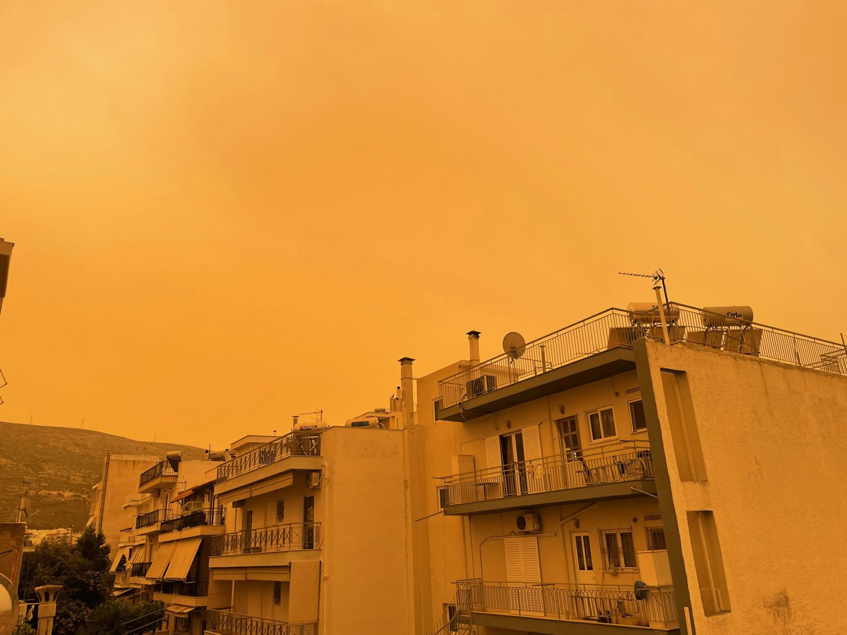
The first dust began arriving over southern Portugal on 3 September before gradually spreading northwards. The latest forecast from IPMA still includes suspended dust over mainland Portugal today.
Weather forecasts from Meteored, based on the European Centre for Medium-Range Weather Forecasts model, show concentrations increasing from the early hours of 4 September.
The dust first arrived in southern Portugal before gradually spreading towards the centre and north. Higher concentrations are expected across most of the mainland by late afternoon.
Only the northwest and small parts of the interior of the Lower Alentejo and Algarve are expected to experience lower concentrations.
The dust may leave the sky looking unusually hazy, white or yellowish. Fine particles can also settle on cars, windows and other outdoor surfaces.
In places where rain or showers coincide with the suspended particles, residents may also notice so-called “mud rain”, which can leave brown or reddish marks behind.
The dust may also reduce air quality in some parts of the country. On the afternoon of 3 September, conditions could drop from “good” to “moderate”, particularly along the northern and central coast and in the Alentejo.
People with respiratory problems or greater sensitivity to air pollution should take extra care while dust levels remain high.
The episode is expected to begin easing later on Friday, 3 September. However, smaller amounts of Saharan dust could remain over Portugal during the weekend and into Monday.
Current forecasts indicate a gradual reduction in concentrations over Saturday and Sunday, although some dust may continue to be visible in the atmosphere.
 Add as a preferred source on Google







 Portugal Handbook
 English
 Nederlands
 Deutsch
 Français
 Español
 Italiano
 Svenska
 Pусский
 中文
中文 Türkçe
 Português
 Czech
Czech Hungarian
 Polski
 عربي
عربي Suomi
Suomi עִברִית
 Português (Brasil)
Follow us on social media